Design students enhance the wayfinding system for the Marbles Kids Museum
Located in the heart of downtown Raleigh, Marbles Kids Museum serves a diverse population of families, school groups, and community organizations with dozens of themed exhibits, summer camps, IMAX documentaries, and feature movies and special events year-round. This project focused on developing an engaging campus map system that is both engaging for visitors and practical for employees to build and manage the display.
The Design Challenge
First-year graphic and experience design students worked with the Marbles Kids Museum design team to ideate a wayfinding system emphasizing the map design that often required changes due to the constant iteration of exhibition space. The challenge was to learn the fundamentals of design principles while addressing the needs of the visitors and museum employees regarding the map. The project called to investigate the following question. How can a tactile interactive map design enhance visitors’ experience of engaging with the wayfinding system in the museum while providing a convenient method for employees to build and update the navigational contents easily? Answering the question required students to learn more about visitors and employees involved in the project. Conducting the basic primary and secondary research about people helped the students implement a clear design strategy and deliver a conceptual solution with a context in mind.
The Design Process and Outcome
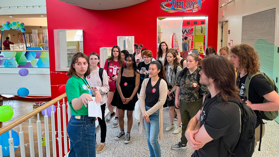
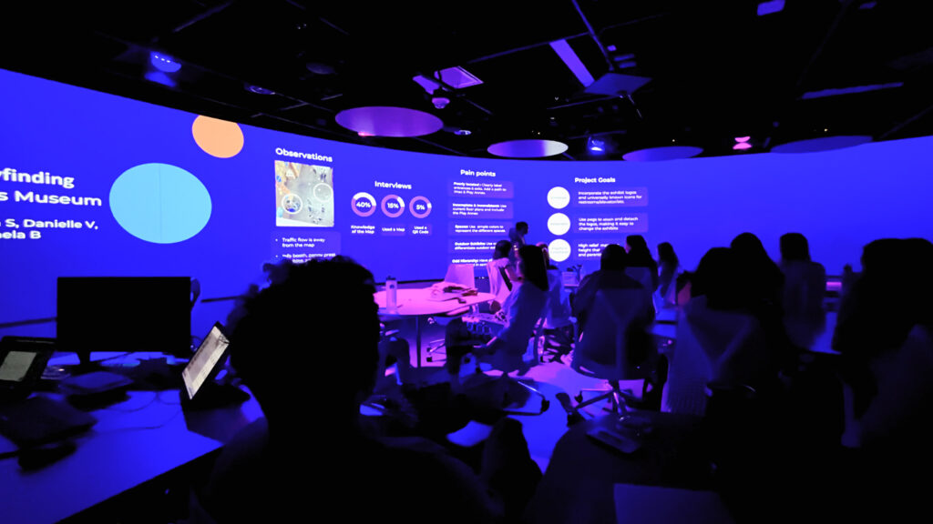
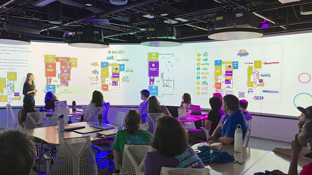
On the first day of the project, students visited the museum to learn about the exhibitions before conducting on-site design research to discover visitor’s behavior. As shown in Table 1, each group conducted interviews, observations, and market research to understand the museum visitors before beginning the ideation phase.
| Discovery Phase | Design Phase | Delivery Phase |
|---|---|---|
| Interviews | Brainstorming | Map design (Print and digital) |
| Observations | User Flow | Navigational Website Page |
| Market Research | Sketches | Physical Interactive Map Display |
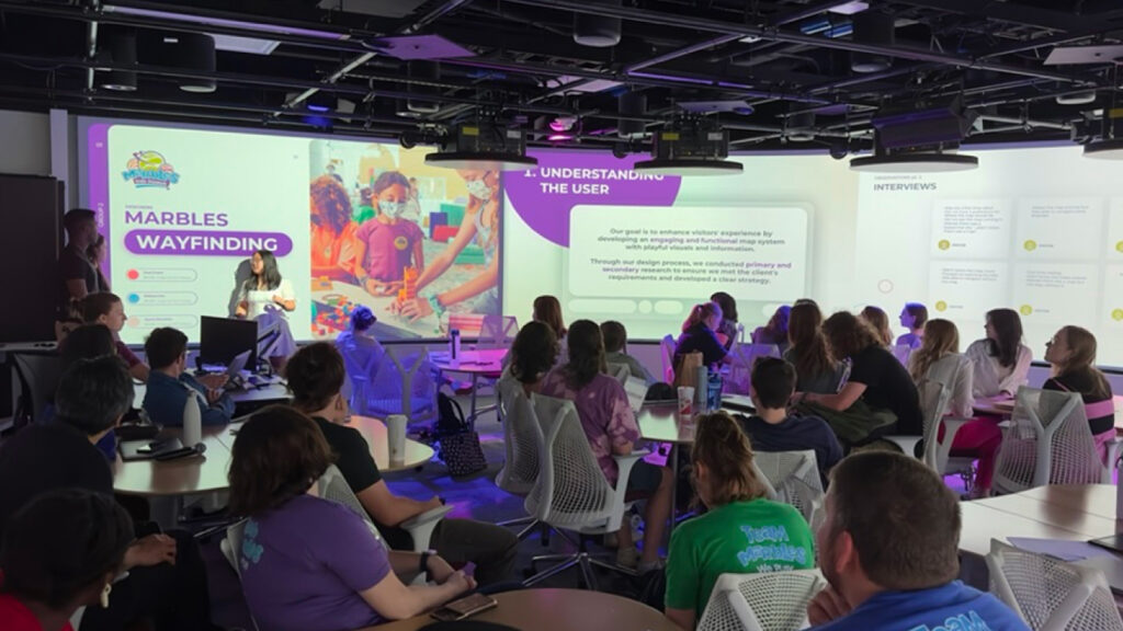
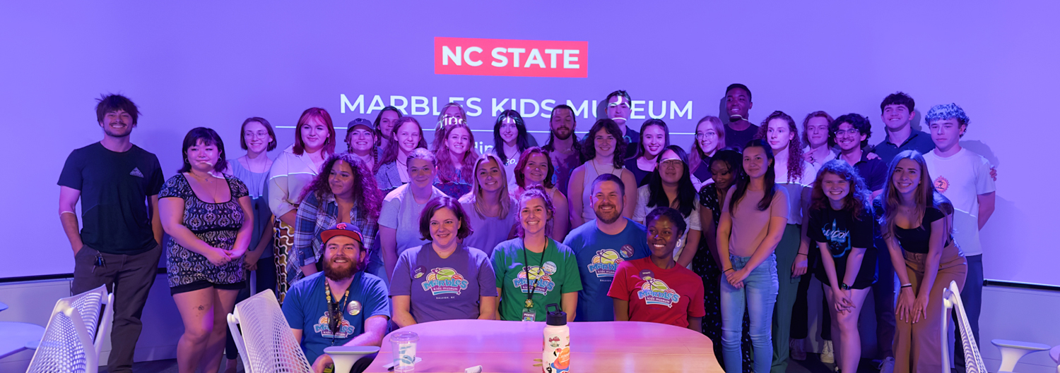
A total of 31 students, split into ten groups under the supervision of two faculty members and two teaching assistants, worked on the project for 4-5 weeks. Once the students defined pain points and opportunities to solve the problem for the museum’s navigational map, each group proposed ways to enhance the wayfinding system by improving physical and digital maps concerning their form, function, and location to cater to a user group. At the end of the project, all ten groups came up with different ideas and visual artifacts to share with the Marbles design team members and presented the solutions at the Teaching and Visualization Lab located in the James B. Hunt Jr. Library.
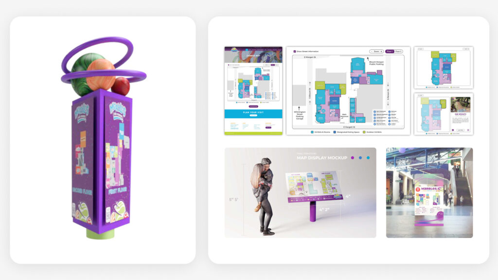
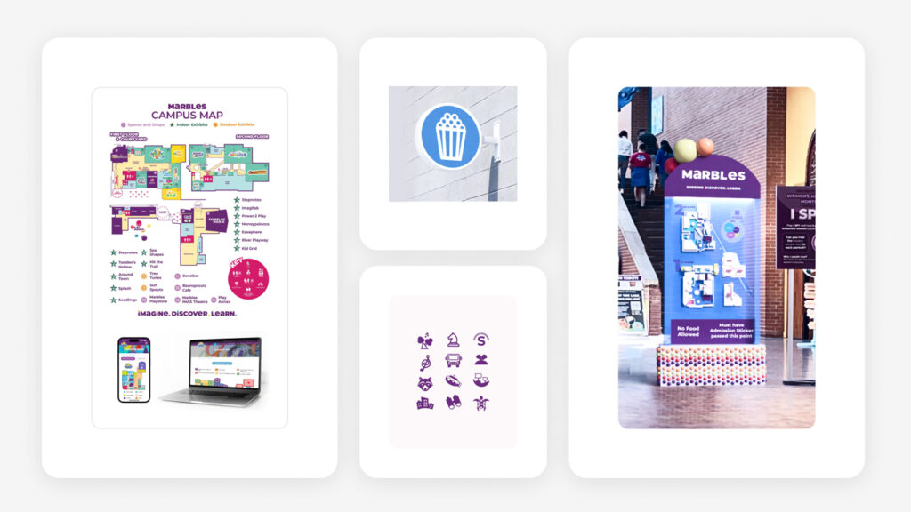
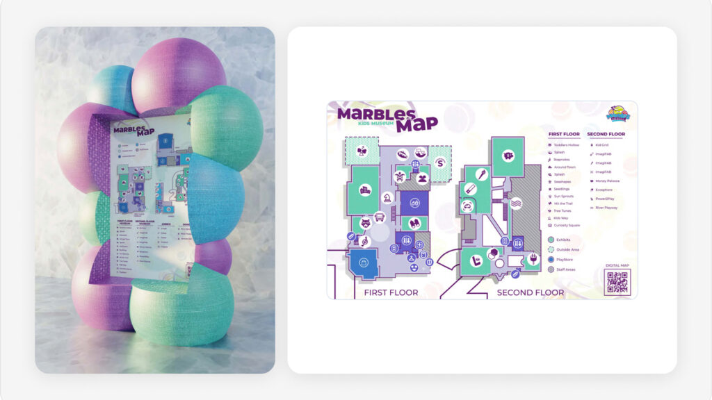
The students included the following deliverables in their submission packets:
- Design proposal indicating the problems and potential solutions derived from the research activities.
- Design progression of a physical and digital map, navigational website page, and tactile interactive display ideations.
- Process documentation adhering to the Marbles brand guidelines.