April 06 -April 27 | 3 weeks | Research Methodologies: Observational and Participatory Research | Mapping Methodology: Observational Maps
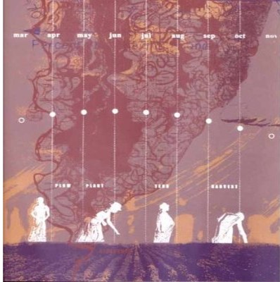
Anu Mathur and Dilip da Cunha, Mississippi Floods
In this third series of maps will use mapping along with observational and participatory research methods to capture diverse perspectives and multi-modal perceptions of place. These maps will build on the narratives captured in the first two map series, but also offer a comparative alternative which captures sensed and perceived data in contrast to the more quantitative data used in earlier maps. We ask that you experiment with a wide range of observational, data collection and recording techniques to construct rich, layered maps which “thicken” our collective definitions of place and history. Building on the term “thick description”, borrowed from the social sciences and coined by Gilbert Ryle and Clifford Geertz, these maps aim to not just describe what is at/on a site today, but explore how maps can uncover and expose a holistic understanding of the dynamic, contextual forces which construct place.
To begin, each of you is asked to identify a specific location in the city to visit, observe, and collect diverse perceptions of which will form the foundation of these maps. This specific location could be a singular historic site, a corridor or street, or a small neighborhood which is relevant to your research question(s) and earlier maps.
For this series, you are asked to construct ONE map which explores the site/location through the lenses of: physical space, interconnected location, social territory, or dynamic flows. In the first week of the project you are asked to visit your site multiple times and collect diverse data types and content which record and capture perceptions through photography, sound recordings, textural rubbings, sketches, cognitive maps, images from google/way-finding tools, sound recordings, smell recordings, participatory surveys, observations of people, found object collage, etc. During your site visits and throughout the first few weeks of this project, we encourage you to work quickly and explore numerous graphic strategies which explore the potential of notations, gestural sketches, and other expressive means to convey and organize your perceptions into maps which provide a counter-geography to typical geo-spatial aerial maps. In addition to the more experiential information that you will collect through photographs and drawings, you should also include quantitative data. You could collect this on your site visit OR use some of the data you have collected as some of your previous map series.
Learning Objectives:
- Identify connections and contradictions between quantitative data from earlier maps with observed information (qualitative data);
- Introduce students to concepts of observational and participatory research;
- Make critical judgments on “relevant” mapping data;
- Make visual comparisons between macro and micro data, between measurable and sensible data;
- Understand the map as a persuasive and narrative device;
- Explore diverse measures of place.
Assignment Schedule
Preparatory Reading:
- Case Study: Mathur and da Cunha, MississippiFloods
- Research Methods: Crouch and Pearce, Ethnographies and Observations, p83-101
April 06: Project Introduction
Due April 13th: Site observations and notes, media tests, and rough drafts of 4 map lenses on your location (each printed on 11 x 17).
For each lens below we have outlined possible types of data/information as a starting point, do not limit yourself to this list. Remember to explore diverse means of observing and recording your site (photography, sound recordings, textural rubbings, sketches, cognitive maps, images from google/way-finding tools, sound recordings, smell recordings, participatory surveys, observations of people, found object collage, etc.)
- Physical Space
- Materials and textures
- Built forms and structures
- Vegetation and habitat
- Landmarks
- Topography and landscape
- Physical boundaries/edges
- Interconnected Location
- Roads, streets, and paths
- Views in and out
- Way-finding in time and space, traces and orientation clues
- Destinations and Trajectories, Nodes and Connectors
- Social Territory
- Indicators of Economic, Political, Cultural forces
- Social boundaries
- Territories and ownership
- Public vs. private
- Maintained vs. blighted
- Honored/Marked/Celebrated vs. Discarded/Invisible
- Dynamic Flows
- Movement of people
- Modes of movement
- Weather patterns (wind, sun, etc.)
- Change and re-development
April 13: Progress Review
- Review of Site Observations Rough Drafts of 4 lenses.
- Discussion: Crouch and Pearce “Ethnography and Observation”; Mississippi Floods.
- Read for April 13: Mereilles, Chapter 01, Hierarchical Structures
April 13: Course Final Review
- FINAL REVIEW Requirements:
April 20:
- Due: 90% Review of Observational Maps
- Discussion / Charrette: Participatory Mapping
April 27: Last Day of Class
- Final Review
May 07:
- Final Course Deliverables Due by 5pm